 DIVIT
DIVIT
Current Status
Where is the vessel?
DIVIT is currently in 39 nm SW of Reinhardtsdorf-Schöna, based on AIS data received about 1d ago.
Latest AIS update:
Current position: 13.60167° N, 50.61167° E (39 nm SW of Reinhardtsdorf-Schöna)
Average speed (last 7 days): Loading…
Average speed (last 30 days): Loading…
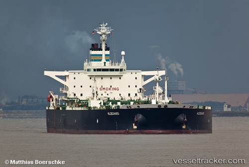
Vessel profile: DIVIT is a Crude Oil Tanker with dimensions m x m.
This page combines live AIS, route history, probable destination signals, nearby traffic, and port activity for practical vessel monitoring.
The current position of vessel DIVIT is 13.60167 lat / 50.61167 lng. Updated: 2026-07-07 20:27:44 UTCCurrently sailing under the flag of Comoros ![]()
Details:
Live Vessel DIVIT Analytics (details, animations, etc.)
Recent AIS points (UTC):
2026-07-07 03:01:19 UTC · 12.95935, 48.54064 · SOG 7.9 kn · COG -1°2026-07-07 20:27:44 UTC · 13.60167, 50.61167 · SOG 7 kn · COG -1°
2026-07-07 20:27:44 UTC · 13.60167, 50.61167 · SOG 7 kn · COG -1°
2026-07-07 20:27:44 UTC · 13.60167, 50.61167 · SOG 7 kn · COG -1°