 OCEAN RADIANCE
Current Status
Where is the vessel?
OCEAN RADIANCE is currently in Near GUISHAN, based on AIS data received about 15h ago.
Latest AIS update:
Current position: 22.06720° N, 113.89828° E (Near GUISHAN)
Average speed (last 7 days): Loading…
Average speed (last 30 days): Loading…
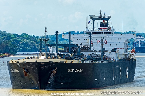
Vessel profile: OCEAN RADIANCE is a Lpg Tanker with dimensions m x m.
This page combines live AIS, route history, probable destination signals, nearby traffic, and port activity for practical vessel monitoring.
The current position of vessel OCEAN RADIANCE is 22.06720 lat / 113.89828 lng. Updated: 2026-05-20 13:07:21 UTCNearest reference points:
- Near WAILINGDING ISLAND
- Near GUISHAN
- Near Cheung Sha Wan
Currently sailing under the flag of Palau ![]()
Details:
Live Vessel OCEAN RADIANCE Analytics (details, animations, etc.)
Recent AIS points (UTC):
2026-05-20 09:45:24 UTC · 22.06430, 113.90125 · SOG 0 kn · COG 293°2026-05-20 10:42:21 UTC · 22.06426, 113.90148 · SOG 0.1 kn · COG 293°
2026-05-20 12:11:35 UTC · 22.06732, 113.89992 · SOG 0.2 kn · COG 189°
2026-05-20 13:07:21 UTC · 22.06720, 113.89828 · SOG 0.1 kn · COG 142°