 SKAGE
SKAGE
Current Status
Where is the vessel?
SKAGE is currently in Near Amuay, based on AIS data received about 14h ago.
Latest AIS update:
Current position: 11.84042° N, 70.36581° W (Near Amuay)
Average speed (last 7 days): Loading…
Average speed (last 30 days): Loading…
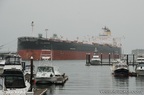
Vessel profile: SKAGE is a Crude Oil Tanker with dimensions m x m.
This page combines live AIS, route history, probable destination signals, nearby traffic, and port activity for practical vessel monitoring.
The current position of vessel SKAGE is 11.84042 lat / -70.36581 lng. Updated: 2026-05-19 02:17:15 UTCNearest reference points:
- Near Las Piedras
- 24 nm NW of Palm Beach
- Near Bullenbaai
Currently sailing under the flag of Guinea ![]()
Details:
Live Vessel SKAGE Analytics (details, animations, etc.)
Recent AIS points (UTC):
2026-05-18 22:41:35 UTC · 11.83987, -70.36477 · SOG 0 kn · COG 32°2026-05-18 23:37:26 UTC · 11.84010, -70.36540 · SOG 0.1 kn · COG 42°
2026-05-19 01:54:56 UTC · 11.84062, -70.36589 · SOG 0.1 kn · COG 55°
2026-05-19 02:17:15 UTC · 11.84042, -70.36581 · SOG 0 kn · COG 50°