 vesseltracker.com
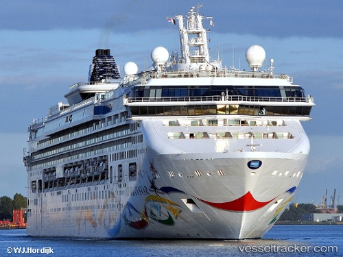
 Norwegian Star
Current Status
Where is the vessel?
Norwegian Star is currently in Near Alesund, based on AIS data received less than 1h ago.
Latest AIS update:
Current position: 62.46907° N, 6.15214° E (Near Alesund)
Average speed (last 7 days): Loading…
Average speed (last 30 days): Loading…
Vessel profile: Norwegian Star is a Cruise Ship with dimensions 295m x 32m.
This page combines live AIS, route history, probable destination signals, nearby traffic, and port activity for practical vessel monitoring.
The current position of vessel Norwegian Star is 62.46907 lat / 6.15214 lng. Updated: 2026-05-16 05:29:59 UTCNearest reference points:
- Near Alesund
- Near Gjøsundet
- Near Fiskarstrand
Currently sailing under the flag of Bahamas ![]()
Norwegian Star built in 2001 year
Deadweight:
7500 tDetails:
Live Vessel Norwegian Star Analytics (details, animations, etc.)
Recent AIS points (UTC):
2026-05-16 01:46:34 UTC · 62.47033, 5.38628 · SOG 9.5 kn · COG 71°2026-05-16 03:23:33 UTC · 62.45736, 5.88934 · SOG 9.6 kn · COG 116°
2026-05-16 04:02:13 UTC · 62.44785, 6.11559 · SOG 9.5 kn · COG 81°
2026-05-16 05:29:59 UTC · 62.46907, 6.15214 · SOG 0 kn · COG 273°