 KETTER
Current Status
Where is the vessel?
KETTER is currently in Near Loddin, based on AIS data received about 14h ago.
Latest AIS update:
Current position: 54.13945° N, 14.15672° E (Near Loddin)
Average speed (last 7 days): Loading…
Average speed (last 30 days): Loading…
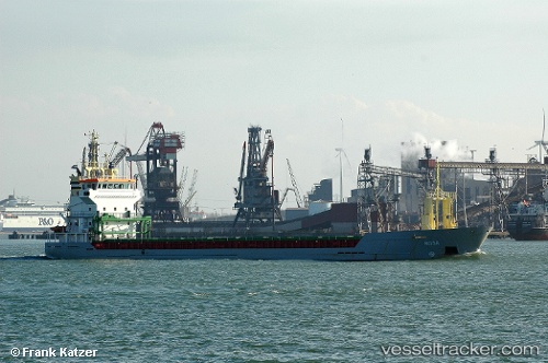
Vessel profile: KETTER is a General Cargo with dimensions 95m x 13m.
This page combines live AIS, route history, probable destination signals, nearby traffic, and port activity for practical vessel monitoring.
The current position of vessel KETTER is 54.13945 lat / 14.15672 lng. Updated: 2026-05-21 04:02:00 UTCNearest reference points:
- Near WOLGAST
- Near PEENEMUNDE
- Near Baabe (Ostseebad)
Currently sailing under the flag of Malta ![]()
KETTER built in 2000 year
Deadweight:
5050 tDetails:
ex Taha
Live Vessel KETTER Analytics (details, animations, etc.)
Recent AIS points (UTC):
2026-05-20 23:23:29 UTC · 54.95016, 13.92566 · SOG 11.5 kn · COG 170°2026-05-21 01:26:18 UTC · 54.59049, 14.02908 · SOG 10.7 kn · COG 169°
2026-05-21 01:46:08 UTC · 54.53250, 14.04821 · SOG 10.6 kn · COG 171°
2026-05-21 04:02:00 UTC · 54.13945, 14.15672 · SOG 10.8 kn · COG 161°