 vesseltracker.com
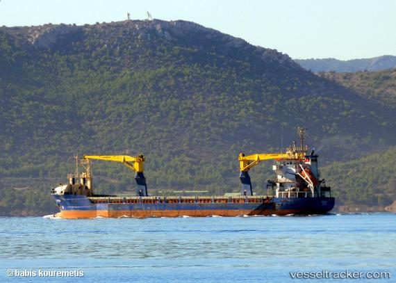
Burak
Current StatusWhere is the vessel?
Burak is currently in Near PENDIK, based on AIS data received about 1h ago.
Latest AIS update:
Current position: 40.86595° N, 29.18230° E (Near PENDIK)
Average speed (last 7 days): Loading…
Average speed (last 30 days): Loading…
Vessel profile: Burak is a Multi Purpose Carrier with dimensions 13m x 105m.
This page combines live AIS, route history, probable destination signals, nearby traffic, and port activity for practical vessel monitoring.
The current position of vessel Burak is 40.86595 lat / 29.18230 lng. Updated: 2026-04-25 05:30:31 UTCNearest reference points:
- Near PENDIK
- Near TUZLA
- Near BOSTANCI
Details:
Live Vessel Burak Analytics (details, animations, etc.)
Recent AIS points (UTC):
2026-04-25 02:22:51 UTC · 40.86605, 29.18238 · SOG 0.1 kn · COG 330°2026-04-25 03:52:48 UTC · 40.86587, 29.18210 · SOG 0 kn · COG 354°
2026-04-25 05:04:47 UTC · 40.86582, 29.18202 · SOG 0 kn · COG 0°
2026-04-25 05:30:31 UTC · 40.86595, 29.18230 · SOG 0 kn · COG 337°