 MSC ALMA VII
Current Status
Where is the vessel?
MSC ALMA VII is currently in 260 nm S of Akpo, based on AIS data received about 15h ago.
Latest AIS update:
Current position: 7.29737° S, 59.60932° E (260 nm S of Akpo)
Average speed (last 7 days): Loading…
Average speed (last 30 days): Loading…
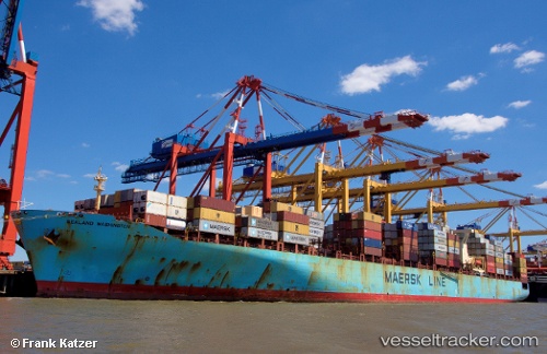
Vessel profile: MSC ALMA VII is a Container Ship with dimensions m x m.
This page combines live AIS, route history, probable destination signals, nearby traffic, and port activity for practical vessel monitoring.
The current position of vessel MSC ALMA VII is -7.29737 lat / 59.60932 lng. Updated: 2026-06-09 16:04:48 UTCNearest reference points:
- 104 nm S of Akpo
- Open sea, approx. 438 nm off the nearest listed port
- Open sea, approx. 400 nm off the nearest listed port
Currently sailing under the flag of Liberia ![]()
Details:
Live Vessel MSC ALMA VII Analytics (details, animations, etc.)
Recent AIS points (UTC):
2026-06-09 14:07:54 UTC · -7.52361, 59.04461 · SOG 18.5 kn · COG 66°2026-06-09 14:13:07 UTC · -7.51294, 59.06919 · SOG 18.4 kn · COG 66°
2026-06-09 15:54:18 UTC · -7.31592, 59.55757 · SOG 18.7 kn · COG 70°
2026-06-09 16:04:48 UTC · -7.29737, 59.60932 · SOG 18.8 kn · COG 70°