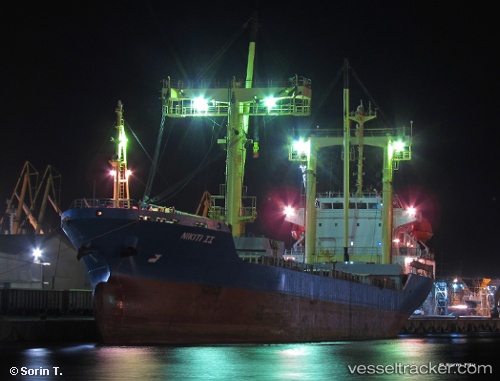
 NIKITI II
Current Status
Where is the vessel?
NIKITI II is currently in 13 nm S of Anamur, based on AIS data received about 14h ago.
Latest AIS update:
Current position: 35.85471° N, 32.79310° E (13 nm S of Anamur)
Average speed (last 7 days): Loading…
Average speed (last 30 days): Loading…
Vessel profile: NIKITI II is a General Cargo with dimensions m x m.
This page combines live AIS, route history, probable destination signals, nearby traffic, and port activity for practical vessel monitoring.
The current position of vessel NIKITI II is 35.85471 lat / 32.79310 lng. Updated: 2026-07-17 12:11:30 UTCNearest reference points:
- 20 nm SW of Yesilovacik
- 15 nm SW of Yesilovacik
- Near Limassol
Currently sailing under the flag of Barbados ![]()
Details:
Live Vessel NIKITI II Analytics (details, animations, etc.)
Recent AIS points (UTC):
2026-07-17 07:32:09 UTC · 35.97667, 33.72509 · SOG 10.2 kn · COG 249°2026-07-17 10:23:40 UTC · 35.89548, 33.15168 · SOG 9.7 kn · COG 257°
2026-07-17 10:29:00 UTC · 35.89302, 33.13419 · SOG 9.7 kn · COG 260°
2026-07-17 12:11:30 UTC · 35.85471, 32.79310 · SOG 10.1 kn · COG 265°