 RONG FU
Current Status
Where is the vessel?
RONG FU is currently in 98 nm NW of MANADO, based on AIS data received about 14h ago.
Latest AIS update:
Current position: 2.99333° N, 124.19500° E (98 nm NW of MANADO)
Average speed (last 7 days): Loading…
Average speed (last 30 days): Loading…
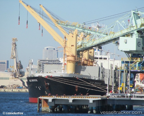
Vessel profile: RONG FU is a Bulk Carrier with dimensions m x m.
This page combines live AIS, route history, probable destination signals, nearby traffic, and port activity for practical vessel monitoring.
The current position of vessel RONG FU is 2.99333 lat / 124.19500 lng. Updated: 2026-05-19 21:07:26 UTCNearest reference points:
- Near BITUNG
- 48 nm N of Melonguanne
Currently sailing under the flag of Panama ![]()
Details:
Live Vessel RONG FU Analytics (details, animations, etc.)
Recent AIS points (UTC):
2026-05-19 17:36:12 UTC · 3.25333, 123.53500 · SOG 11 kn · COG -1°2026-05-19 19:33:52 UTC · 3.11167, 123.90167 · SOG 12 kn · COG -1°
2026-05-19 19:59:06 UTC · 3.08414, 123.97769 · SOG 12.1 kn · COG -1°
2026-05-19 21:07:26 UTC · 2.99333, 124.19500 · SOG 11 kn · COG -1°