 Stolt Skua
Current Status
Where is the vessel?
Stolt Skua is currently in Near Shoreacres, based on AIS data received about 14h ago.
Latest AIS update:
Current position: 29.56607° N, 94.92051° W (Near Shoreacres)
Average speed (last 7 days): Loading…
Average speed (last 30 days): Loading…
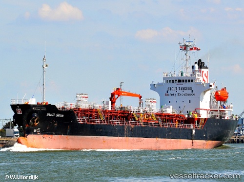
Vessel profile: Stolt Skua is a Chemical Oil Products Tanker with dimensions 112m x 20m.
This page combines live AIS, route history, probable destination signals, nearby traffic, and port activity for practical vessel monitoring.
The current position of vessel Stolt Skua is 29.56607 lat / -94.92051 lng. Updated: 2026-05-26 00:00:50 UTCNearest reference points:
- Near Clear Lake Shores
- Near Shoreacres
- Near Morgan Point
Currently sailing under the flag of Cayman Is ![]()
Stolt Skua built in 1999 year
Deadweight:
8594 tDetails:
Live Vessel Stolt Skua Analytics (details, animations, etc.)
Recent AIS points (UTC):
2026-05-25 20:00:20 UTC · 29.33911, -94.56570 · SOG 0 kn · COG -1°2026-05-25 21:34:28 UTC · 29.33685, -94.56549 · SOG 4.1 kn · COG 199°
2026-05-25 23:13:47 UTC · 29.43239, -94.83436 · SOG 12.3 kn · COG 336°
2026-05-26 00:00:50 UTC · 29.56607, -94.92051 · SOG 10.5 kn · COG 326°