Os Two
Current StatusWhere is the vessel?
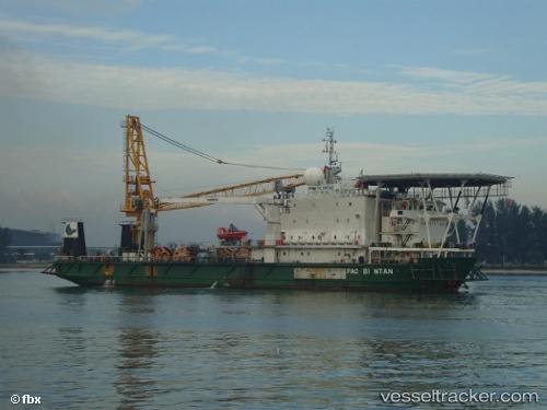
Os Two is currently in Near PASIR PANJANG Terminal, based on AIS data received about 106d ago.
Latest AIS update:
Current position: 1.28130° N, 103.76429° E (Near PASIR PANJANG Terminal)
Average speed (last 7 days): Loading…
Average speed (last 30 days): Loading…
Vessel profile: Os Two is a Offshore Support Vessel with dimensions 20m x 89m.
This page combines live AIS, route history, probable destination signals, nearby traffic, and port activity for practical vessel monitoring.
The current position of vessel Os Two is 1.28130 lat / 103.76429 lng. Updated: 2026-02-03 15:47:39 UTCNearest reference points:
- Near PASIR PANJANG Terminal
- Near Pasir Panjang Wharves
- Near BUKOM ISLAND
Details:
Live Vessel Os Two Analytics (details, animations, etc.)
Recent AIS points (UTC):
2026-02-03 15:47:39 UTC · 1.28130, 103.76429 · SOG 0 kn · COG -1°