 vesseltracker.com
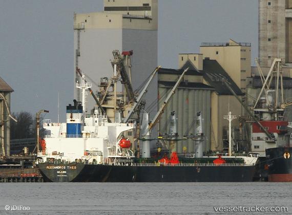
 POWER
POWER
Current Status
Where is the vessel?
POWER is currently in 40 nm S of Guang'ao, based on AIS data received about 14h ago.
Latest AIS update:
Current position: 22.59819° N, 116.98559° E (40 nm S of Guang'ao)
Average speed (last 7 days): Loading…
Average speed (last 30 days): Loading…
Vessel profile: POWER is a Bulk Carrier with dimensions m x m.
This page combines live AIS, route history, probable destination signals, nearby traffic, and port activity for practical vessel monitoring.
The current position of vessel POWER is 22.59819 lat / 116.98559 lng. Updated: 2026-05-17 22:12:40 UTCNearest reference points:
- 14 nm S of Guang'ao
- 24 nm SE of Jinghai
- 24 nm S of Jinghai
Currently sailing under the flag of Panama ![]()
Details:
Live Vessel POWER Analytics (details, animations, etc.)
Recent AIS points (UTC):
2026-05-17 19:18:09 UTC · 23.06985, 117.34689 · SOG 12.5 kn · COG 222°2026-05-17 19:47:00 UTC · 22.99969, 117.27012 · SOG 12.3 kn · COG 228°
2026-05-17 22:05:01 UTC · 22.61932, 116.99816 · SOG 11.5 kn · COG 207°
2026-05-17 22:12:40 UTC · 22.59819, 116.98559 · SOG 11.2 kn · COG 206°