 SEGULA
Current Status
Where is the vessel?
SEGULA is currently in 14 nm S of Krieschow, based on AIS data received about 14h ago.
Latest AIS update:
Current position: 51.51532° N, 1.74759° E (14 nm S of Krieschow)
Average speed (last 7 days): Loading…
Average speed (last 30 days): Loading…
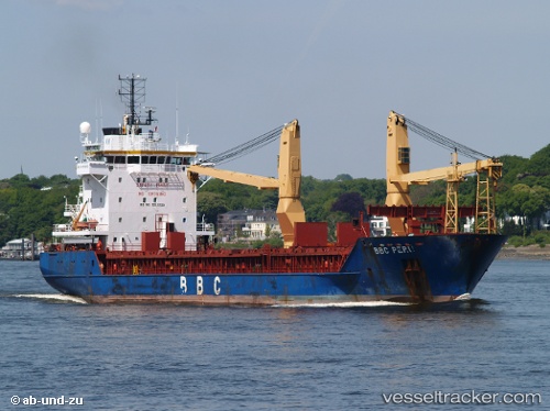
Vessel profile: SEGULA is a General Cargo with dimensions m x m.
This page combines live AIS, route history, probable destination signals, nearby traffic, and port activity for practical vessel monitoring.
The current position of vessel SEGULA is 51.51532 lat / 1.74759 lng. Updated: 2026-06-13 00:04:10 UTCNearest reference points:
- Near Broadstairs
- 15 nm E of RAMSGATE
- 14 nm SE of RAMSGATE
Currently sailing under the flag of Barbados ![]()
Details:
Live Vessel SEGULA Analytics (details, animations, etc.)
Recent AIS points (UTC):
2026-06-12 19:36:08 UTC · 51.51250, 1.74307 · SOG 0.2 kn · COG -1°2026-06-12 22:13:10 UTC · 51.51557, 1.74689 · SOG 0.2 kn · COG 219°
2026-06-12 22:22:10 UTC · 51.51560, 1.74693 · SOG 0.2 kn · COG 219°
2026-06-13 00:04:10 UTC · 51.51532, 1.74759 · SOG 0 kn · COG 234°