Mv.tanto Bagus
Current StatusWhere is the vessel?
Mv.tanto Bagus is currently in Near Tanjung Perak, based on AIS data received about 14h ago.
Latest AIS update:
Current position: 7.20693° S, 112.72598° E (Near Tanjung Perak)
Average speed (last 7 days): Loading…
Average speed (last 30 days): Loading…
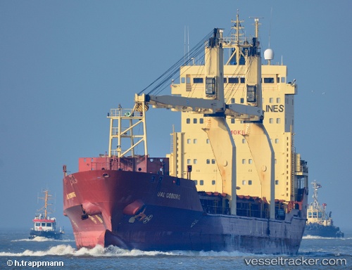
Vessel profile: Mv.tanto Bagus is a Multi Purpose Carrier with dimensions 19m x 126m.
This page combines live AIS, route history, probable destination signals, nearby traffic, and port activity for practical vessel monitoring.
The current position of vessel Mv.tanto Bagus is -7.20693 lat / 112.72598 lng. Updated: 2026-05-20 13:12:01 UTCNearest reference points:
- Near Tanjung Perak
- Near Kalianak Barat
- Near Tanjong Perak
Details:
Live Vessel Mv.tanto Bagus Analytics (details, animations, etc.)
Recent AIS points (UTC):
2026-05-20 09:49:16 UTC · -7.20700, 112.72587 · SOG 0 kn · COG 340°2026-05-20 10:43:25 UTC · -7.20706, 112.72599 · SOG 0.1 kn · COG 340°
2026-05-20 12:10:01 UTC · -7.20693, 112.72586 · SOG 0 kn · COG 339°
2026-05-20 13:12:01 UTC · -7.20693, 112.72598 · SOG 0 kn · COG 340°