 W KYRENIA
Current Status
Where is the vessel?
W KYRENIA is currently in 152 nm W of NASSIT, based on AIS data received about 14h ago.
Latest AIS update:
Current position: 7.67167° N, 15.66333° W (152 nm W of NASSIT)
Average speed (last 7 days): Loading…
Average speed (last 30 days): Loading…
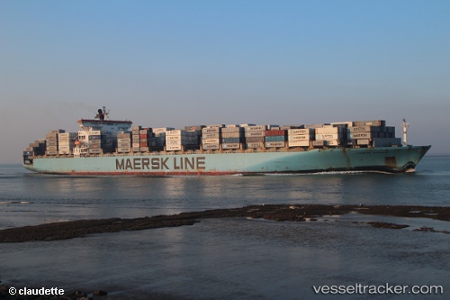
Vessel profile: W KYRENIA is a Container Ship with dimensions 300m x 300m.
This page combines live AIS, route history, probable destination signals, nearby traffic, and port activity for practical vessel monitoring.
The current position of vessel W KYRENIA is 7.67167 lat / -15.66333 lng. Updated: 2026-06-22 19:44:04 UTCNearest reference points:
- 79 nm SW of Conakry
- 97 nm SW of Port de Boké
- 49 nm S of Port de Boké
Currently sailing under the flag of Marshall Islands ![]()
W KYRENIA built in 2001 year
Deadweight:
93552 tDetails:
Live Vessel W KYRENIA Analytics (details, animations, etc.)
Recent AIS points (UTC):
2026-06-22 15:46:41 UTC · 7.29334, -15.12036 · SOG 10.6 kn · COG 300°2026-06-22 17:05:54 UTC · 7.42935, -15.30428 · SOG 10 kn · COG 290°
2026-06-22 18:11:06 UTC · 7.52167, -15.45667 · SOG 10 kn · COG -1°
2026-06-22 19:44:04 UTC · 7.67167, -15.66333 · SOG 9 kn · COG -1°