 NORDIS
Current Status
Where is the vessel?
NORDIS is currently in Near Bremen, based on AIS data received about 15h ago.
Latest AIS update:
Current position: 53.11823° N, 8.72662° E (Near Bremen)
Average speed (last 7 days): Loading…
Average speed (last 30 days): Loading…
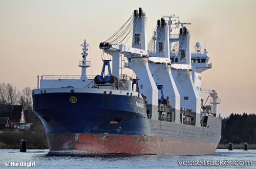
Vessel profile: NORDIS is a General Cargo with dimensions m x m.
This page combines live AIS, route history, probable destination signals, nearby traffic, and port activity for practical vessel monitoring.
The current position of vessel NORDIS is 53.11823 lat / 8.72662 lng. Updated: 2026-05-20 19:01:50 UTCNearest reference points:
- Near HASENBURENER DEICH
- Near Hemelingen
- Near Brake
Currently sailing under the flag of Finland ![]()
Details:
Live Vessel NORDIS Analytics (details, animations, etc.)
Recent AIS points (UTC):
2026-05-20 16:22:49 UTC · 53.11819, 8.72661 · SOG 0 kn · COG 275°2026-05-20 16:25:49 UTC · 53.11820, 8.72661 · SOG 0 kn · COG 275°
2026-05-20 17:37:50 UTC · 53.11820, 8.72660 · SOG 0 kn · COG 276°
2026-05-20 19:01:50 UTC · 53.11823, 8.72662 · SOG 0 kn · COG 275°