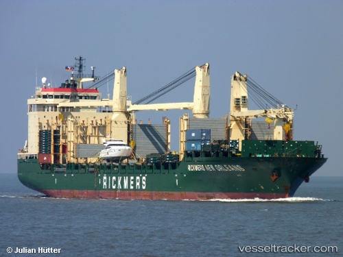
Maa Saleha Begum
Current StatusWhere is the vessel?
Maa Saleha Begum is currently in 28 nm NW of Belanak Terminal, based on AIS data received about 14h ago.
Latest AIS update:
Current position: 4.50142° N, 105.91926° E (28 nm NW of Belanak Terminal)
Average speed (last 7 days): Loading…
Average speed (last 30 days): Loading…
Vessel profile: Maa Saleha Begum is a Bulk Carrier with dimensions 32m x 190m.
This page combines live AIS, route history, probable destination signals, nearby traffic, and port activity for practical vessel monitoring.
The current position of vessel Maa Saleha Begum is 4.50142 lat / 105.91926 lng. Updated: 2026-05-20 14:24:52 UTCNearest reference points:
- 26 nm E of Belida Terminal
- 30 nm SW of Belanak Terminal
- Near Anoa Natuna Pt.
Details:
Live Vessel Maa Saleha Begum Analytics (details, animations, etc.)
Recent AIS points (UTC):
2026-05-20 10:13:43 UTC · 5.12224, 106.35595 · SOG 10.6 kn · COG -1°2026-05-20 10:13:43 UTC · 5.12224, 106.35595 · SOG 10.6 kn · COG -1°
2026-05-20 10:13:43 UTC · 5.12224, 106.35595 · SOG 10.6 kn · COG -1°
2026-05-20 14:24:52 UTC · 4.50142, 105.91926 · SOG 10.5 kn · COG 202°