 GSL MYNY
Current Status
Where is the vessel?
GSL MYNY is currently in 331 nm SW of Lukovica pri Domzalah, based on AIS data received about 14h ago.
Latest AIS update:
Current position: 42.63949° N, 150.27925° W (331 nm SW of Lukovica pri Domzalah)
Average speed (last 7 days): Loading…
Average speed (last 30 days): Loading…
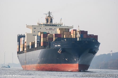
Vessel profile: GSL MYNY is a Container Ship with dimensions 40m x 277m.
This page combines live AIS, route history, probable destination signals, nearby traffic, and port activity for practical vessel monitoring.
The current position of vessel GSL MYNY is 42.63949 lat / -150.27925 lng. Updated: 2026-05-22 06:13:08 UTCNearest reference points:
- Open sea, approx. 400 nm off the nearest listed port
- Open sea, approx. 405 nm off the nearest listed port
- Open sea, approx. 402 nm off the nearest listed port
Currently sailing under the flag of Liberia ![]()
GSL MYNY built in 2000 year
Deadweight:
67564 tDetails:
Live Vessel GSL MYNY Analytics (details, animations, etc.)
Recent AIS points (UTC):
2026-05-22 03:24:40 UTC · 42.97955, -151.36449 · SOG 18.4 kn · COG 112°2026-05-22 04:00:54 UTC · 42.91002, -151.13048 · SOG 18.4 kn · COG 114°
2026-05-22 06:13:08 UTC · 42.63949, -150.27925 · SOG 18.4 kn · COG 114°
2026-05-22 06:13:08 UTC · 42.63949, -150.27925 · SOG 18.4 kn · COG 114°