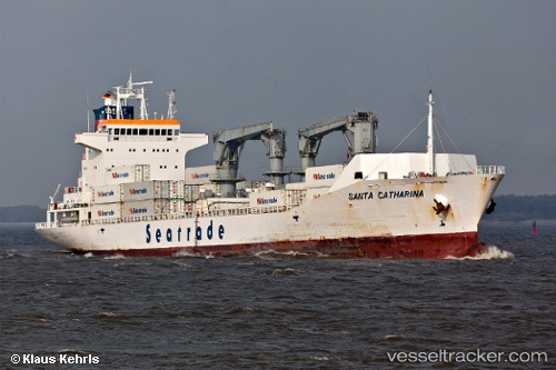
 SANTA CATHARINA
Current Status
Where is the vessel?
SANTA CATHARINA is currently in 298 nm E of Basco, based on AIS data received about 17h ago.
Latest AIS update:
Current position: 19.73520° N, 127.20014° E (298 nm E of Basco)
Average speed (last 7 days): Loading…
Average speed (last 30 days): Loading…
Vessel profile: SANTA CATHARINA is a Reefer with dimensions m x m.
This page combines live AIS, route history, probable destination signals, nearby traffic, and port activity for practical vessel monitoring.
The current position of vessel SANTA CATHARINA is 19.73520 lat / 127.20014 lng. Updated: 2026-05-24 22:19:39 UTCNearest reference points:
- Open sea, approx. 406 nm off the nearest listed port
- Open sea, approx. 405 nm off the nearest listed port
- Open sea, approx. 402 nm off the nearest listed port
Currently sailing under the flag of Liberia ![]()
Details:
Live Vessel SANTA CATHARINA Analytics (details, animations, etc.)
Recent AIS points (UTC):
2026-05-24 22:19:39 UTC · 19.73520, 127.20014 · SOG 17.3 kn · COG 1°2026-05-24 22:19:39 UTC · 19.73520, 127.20014 · SOG 17.3 kn · COG 1°
2026-05-24 22:19:39 UTC · 19.73520, 127.20014 · SOG 17.3 kn · COG 1°
2026-05-24 22:19:39 UTC · 19.73520, 127.20014 · SOG 17.3 kn · COG 1°