 EXPLORER
Current Status
Where is the vessel?
EXPLORER is currently in 38 nm SW of Kiamari, based on AIS data received about 14h ago.
Latest AIS update:
Current position: 24.33430° N, 66.50945° E (38 nm SW of Kiamari)
Average speed (last 7 days): Loading…
Average speed (last 30 days): Loading…
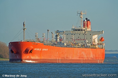
Vessel profile: EXPLORER is a Oil/Chemical Tanker with dimensions m x m.
This page combines live AIS, route history, probable destination signals, nearby traffic, and port activity for practical vessel monitoring.
The current position of vessel EXPLORER is 24.33430 lat / 66.50945 lng. Updated: 2026-05-21 05:03:09 UTCNearest reference points:
- 16 nm S of Kiamari
- Near Kiamari
- Near PORT QASIM
Currently sailing under the flag of Barbados ![]()
Details:
Live Vessel EXPLORER Analytics (details, animations, etc.)
Recent AIS points (UTC):
2026-05-21 02:10:41 UTC · 24.06672, 66.62713 · SOG 12.4 kn · COG 342°2026-05-21 02:40:59 UTC · 24.16797, 66.59492 · SOG 12.5 kn · COG 341°
2026-05-21 03:48:59 UTC · 24.33256, 66.50957 · SOG 3.6 kn · COG 290°
2026-05-21 05:03:09 UTC · 24.33430, 66.50945 · SOG 0.1 kn · COG 263°