 MARIA NASHWAH
Current Status
Where is the vessel?
MARIA NASHWAH is currently in Near Muara Pantai, based on AIS data received about 1d ago.
Latest AIS update:
Current position: 2.01655° N, 118.15968° E (Near Muara Pantai)
Average speed (last 7 days): Loading…
Average speed (last 30 days): Loading…
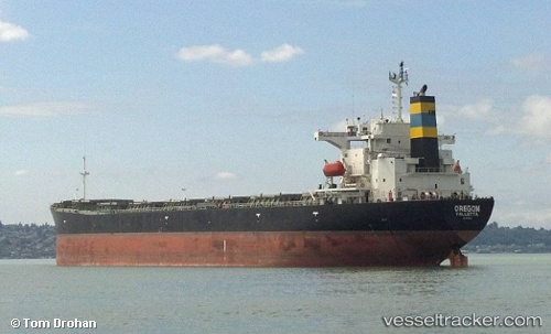
Vessel profile: MARIA NASHWAH is a Bulk Carrier with dimensions 32m x 224m.
This page combines live AIS, route history, probable destination signals, nearby traffic, and port activity for practical vessel monitoring.
The current position of vessel MARIA NASHWAH is 2.01655 lat / 118.15968 lng. Updated: 2026-05-19 08:45:28 UTCNearest reference points:
- Near Muara Pantai
- 69 nm E of Kaliorang
- 81 nm E of Muara Pantai
Currently sailing under the flag of Indonesia ![]()
MARIA NASHWAH built in 2002 year
Deadweight:
74204 tDetails:
Live Vessel MARIA NASHWAH Analytics (details, animations, etc.)
Recent AIS points (UTC):
2026-05-19 08:45:28 UTC · 2.01655, 118.15968 · SOG 0 kn · COG 46°2026-05-19 08:45:28 UTC · 2.01655, 118.15968 · SOG 0 kn · COG 46°
2026-05-19 08:45:28 UTC · 2.01655, 118.15968 · SOG 0 kn · COG 46°
2026-05-19 08:45:28 UTC · 2.01655, 118.15968 · SOG 0 kn · COG 46°