 DAY DREAM
Current Status
Where is the vessel?
DAY DREAM is currently in 15 nm NE of Verzy, based on AIS data received about 15h ago.
Latest AIS update:
Current position: 49.38553° N, 4.01115° W (15 nm NE of Verzy)
Average speed (last 7 days): Loading…
Average speed (last 30 days): Loading…
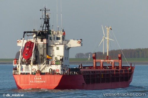
Vessel profile: DAY DREAM is a General Cargo with dimensions m x m.
This page combines live AIS, route history, probable destination signals, nearby traffic, and port activity for practical vessel monitoring.
The current position of vessel DAY DREAM is 49.38553 lat / -4.01115 lng. Updated: 2026-05-20 22:13:22 UTCNearest reference points:
- 27 nm N of Verzy
- Near Verzy
- 12 nm S of Cornwall
Currently sailing under the flag of Barbados ![]()
Details:
Live Vessel DAY DREAM Analytics (details, animations, etc.)
Recent AIS points (UTC):
2026-05-20 16:57:02 UTC · 48.87607, -5.36715 · SOG 11.8 kn · COG 58°2026-05-20 17:35:12 UTC · 48.94987, -5.21297 · SOG 12 kn · COG 35°
2026-05-20 22:06:02 UTC · 49.37489, -4.04007 · SOG 10.6 kn · COG 58°
2026-05-20 22:13:22 UTC · 49.38553, -4.01115 · SOG 10.7 kn · COG 58°