 GRAFF
GRAFF
Current Status
Where is the vessel?
GRAFF is currently in Near Tampines, based on AIS data received about 15h ago.
Latest AIS update:
Current position: 1.24862° N, 103.92943° E (Near Tampines)
Average speed (last 7 days): Loading…
Average speed (last 30 days): Loading…
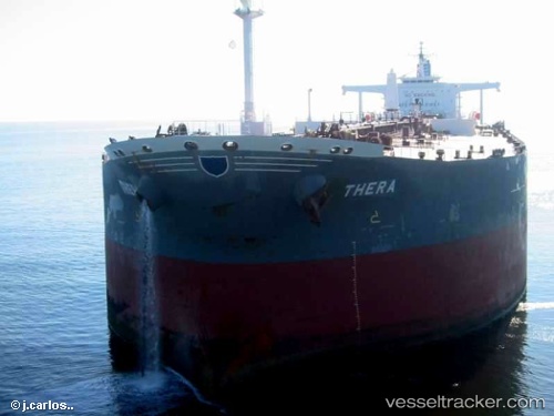
Vessel profile: GRAFF is a Crude Oil Tanker with dimensions m x m.
This page combines live AIS, route history, probable destination signals, nearby traffic, and port activity for practical vessel monitoring.
The current position of vessel GRAFF is 1.24862 lat / 103.92943 lng. Updated: 2026-05-22 02:28:09 UTCNearest reference points:
- Near Choa Chu Kang
- Near Tampines
- Near Changi
Currently sailing under the flag of San Marino ![]()
Details:
Live Vessel GRAFF Analytics (details, animations, etc.)
Recent AIS points (UTC):
2026-05-21 21:47:38 UTC · 1.29682, 104.23443 · SOG 4.7 kn · COG 255°2026-05-21 23:11:18 UTC · 1.27538, 104.11803 · SOG 5.2 kn · COG 261°
2026-05-22 01:17:08 UTC · 1.25975, 103.98843 · SOG 2 kn · COG 265°
2026-05-22 02:28:09 UTC · 1.24862, 103.92943 · SOG 0.8 kn · COG 231°