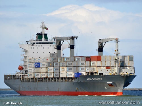
 Maersk Newcastle
Current Status
Where is the vessel?
Maersk Newcastle is currently in 48 nm S of El Puerto, based on AIS data received about 14h ago.
Latest AIS update:
Current position: 6.54673° N, 80.91354° W (48 nm S of El Puerto)
Average speed (last 7 days): Loading…
Average speed (last 30 days): Loading…
Vessel profile: Maersk Newcastle is a Container Ship with dimensions 210m x 30m.
This page combines live AIS, route history, probable destination signals, nearby traffic, and port activity for practical vessel monitoring.
The current position of vessel Maersk Newcastle is 6.54673 lat / -80.91354 lng. Updated: 2026-06-30 02:31:33 UTCNearest reference points:
- 20 nm S of El Puerto
- 30 nm E of El Cirial (Isla Iguana)
- Near Melones
Currently sailing under the flag of Singapore ![]()
Maersk Newcastle built in 2001 year
Deadweight:
34717 tDetails:
Live Vessel Maersk Newcastle Analytics (details, animations, etc.)
Recent AIS points (UTC):
2026-06-29 22:07:33 UTC · 6.62692, -80.99592 · SOG 0.8 kn · COG 332°2026-06-30 00:08:32 UTC · 6.54558, -80.91833 · SOG 3.5 kn · COG 175°
2026-06-30 01:56:29 UTC · 6.54329, -80.91832 · SOG 0.5 kn · COG 214°
2026-06-30 02:31:33 UTC · 6.54673, -80.91354 · SOG 0.6 kn · COG 226°