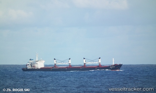
 CN MINJIANG
Current Status
Where is the vessel?
CN MINJIANG is currently in 54 nm S of Chabahar, based on AIS data received about 15h ago.
Latest AIS update:
Current position: 24.39342° N, 60.58223° E (54 nm S of Chabahar)
Average speed (last 7 days): Loading…
Average speed (last 30 days): Loading…
Vessel profile: CN MINJIANG is a Bulk Carrier with dimensions m x m.
This page combines live AIS, route history, probable destination signals, nearby traffic, and port activity for practical vessel monitoring.
The current position of vessel CN MINJIANG is 24.39342 lat / 60.58223 lng. Updated: 2026-05-20 07:45:48 UTCNearest reference points:
- 59 nm S of Chah Bahar
- 97 nm S of Chabahar
- 52 nm NE of SUR
Currently sailing under the flag of Panama ![]()
Details:
Live Vessel CN MINJIANG Analytics (details, animations, etc.)
Recent AIS points (UTC):
2026-05-20 05:09:21 UTC · 24.49603, 60.06305 · SOG 10.8 kn · COG 108°2026-05-20 06:23:17 UTC · 24.44712, 60.31002 · SOG 11.3 kn · COG 104°
2026-05-20 07:38:27 UTC · 24.39756, 60.55866 · SOG 10.7 kn · COG 101°
2026-05-20 07:45:48 UTC · 24.39342, 60.58223 · SOG 10.6 kn · COG 101°