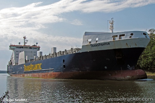
 KPS EMRE BEY
Current Status
Where is the vessel?
KPS EMRE BEY is currently in Near Guayaquil, based on AIS data received about 14h ago.
Latest AIS update:
Current position: 2.24278° S, 79.88090° W (Near Guayaquil)
Average speed (last 7 days): Loading…
Average speed (last 30 days): Loading…
Vessel profile: KPS EMRE BEY is a Ro-Ro Cargo with dimensions m x m.
This page combines live AIS, route history, probable destination signals, nearby traffic, and port activity for practical vessel monitoring.
The current position of vessel KPS EMRE BEY is -2.24278 lat / -79.88090 lng. Updated: 2026-08-03 02:08:23 UTCNearest reference points:
- Near Guayaquil
- Near Samborondon
- Near La Libertad
Currently sailing under the flag of Liberia ![]()
Details:
Live Vessel KPS EMRE BEY Analytics (details, animations, etc.)
Recent AIS points (UTC):
2026-08-02 22:11:12 UTC · -2.24278, -79.88090 · SOG 0 kn · COG -1°2026-08-03 00:16:33 UTC · -2.24278, -79.88090 · SOG 0 kn · COG -1°
2026-08-03 01:51:42 UTC · -2.24278, -79.88090 · SOG 0 kn · COG -1°
2026-08-03 02:08:23 UTC · -2.24278, -79.88090 · SOG 0 kn · COG -1°