 CAPE DAO
Current Status
Where is the vessel?
CAPE DAO is currently in Near Richards Bay, based on AIS data received about 14h ago.
Latest AIS update:
Current position: 28.92647° S, 32.19734° E (Near Richards Bay)
Average speed (last 7 days): Loading…
Average speed (last 30 days): Loading…
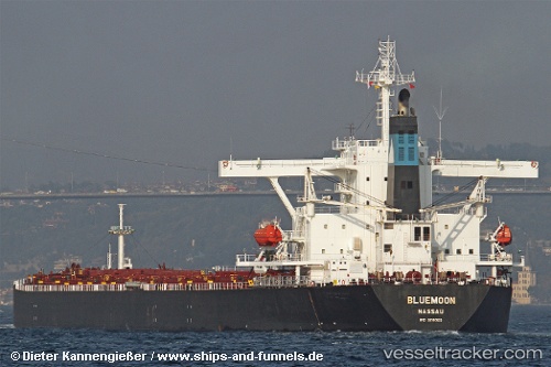
Vessel profile: CAPE DAO is a Bulk Carrier with dimensions m x m.
This page combines live AIS, route history, probable destination signals, nearby traffic, and port activity for practical vessel monitoring.
The current position of vessel CAPE DAO is -28.92647 lat / 32.19734 lng. Updated: 2026-05-20 16:10:28 UTCNearest reference points:
- 42 nm E of Richards Bay
- Near Umhlanga Rocks
- Near Durban
Currently sailing under the flag of Antigua and Barbuda ![]()
Details:
Live Vessel CAPE DAO Analytics (details, animations, etc.)
Recent AIS points (UTC):
2026-05-20 13:01:28 UTC · -28.92625, 32.19778 · SOG 0.6 kn · COG 62°2026-05-20 13:46:27 UTC · -28.92654, 32.19775 · SOG 0.4 kn · COG 54°
2026-05-20 15:52:25 UTC · -28.92657, 32.19780 · SOG 0.7 kn · COG 53°
2026-05-20 16:10:28 UTC · -28.92647, 32.19734 · SOG 0.3 kn · COG 53°