Marigold
Current StatusWhere is the vessel?
Marigold is currently in 11 nm SE of Lianyungang, based on AIS data received about 14h ago.
Latest AIS update:
Current position: 34.63639° N, 119.63674° E (11 nm SE of Lianyungang)
Average speed (last 7 days): Loading…
Average speed (last 30 days): Loading…
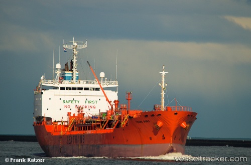
Vessel profile: Marigold is a Chemical Oil Products Tanker with dimensions 19m x 130m.
This page combines live AIS, route history, probable destination signals, nearby traffic, and port activity for practical vessel monitoring.
The current position of vessel Marigold is 34.63639 lat / 119.63674 lng. Updated: 2026-05-27 19:54:09 UTCNearest reference points:
- 12 nm SE of Lianyungang
- Near Lianyungang
- 18 nm N of CHENJIAGANG
Details:
Live Vessel Marigold Analytics (details, animations, etc.)
Recent AIS points (UTC):
2026-05-27 16:00:08 UTC · 34.63636, 119.63675 · SOG 0 kn · COG 225°2026-05-27 17:48:08 UTC · 34.63638, 119.63672 · SOG 0 kn · COG 224°
2026-05-27 19:33:12 UTC · 34.63642, 119.63673 · SOG 0 kn · COG 224°
2026-05-27 19:54:09 UTC · 34.63639, 119.63674 · SOG 0 kn · COG 226°