 vesseltracker.com
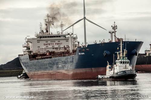
P Russel
Current StatusWhere is the vessel?
P Russel is currently in Near HEL, based on AIS data received about 134d ago.
Latest AIS update:
Current position: 54.53648° N, 19.01428° E (Near HEL)
Average speed (last 7 days): Loading…
Average speed (last 30 days): Loading…
Vessel profile: P Russel is a Crude Oil Tanker with dimensions 29m x 170m.
This page combines live AIS, route history, probable destination signals, nearby traffic, and port activity for practical vessel monitoring.
The current position of vessel P Russel is 54.53648 lat / 19.01428 lng. Updated: 2026-01-03 20:05:13 UTCNearest reference points:
- Near Górki Zachodnie
- Near Sopot
- Near Nowy Port/Gdansk
Details:
Live Vessel P Russel Analytics (details, animations, etc.)
Recent AIS points (UTC):
2026-01-03 20:05:13 UTC · 54.53648, 19.01428 · SOG 29.2 kn · COG 210°