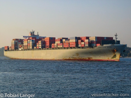
 WAN HAI 613
Current Status
Where is the vessel?
WAN HAI 613 is currently in 236 nm N of Baie Taio-Hae, based on AIS data received about 14h ago.
Latest AIS update:
Current position: 5.09595° S, 140.93855° W (236 nm N of Baie Taio-Hae)
Average speed (last 7 days): Loading…
Average speed (last 30 days): Loading…
Vessel profile: WAN HAI 613 is a Container Ship with dimensions m x m.
This page combines live AIS, route history, probable destination signals, nearby traffic, and port activity for practical vessel monitoring.
The current position of vessel WAN HAI 613 is -5.09595 lat / -140.93855 lng. Updated: 2026-05-19 22:08:41 UTCNearest reference points:
- Open sea, approx. 404 nm off the nearest listed port
- Open sea, approx. 411 nm off the nearest listed port
- Open sea, approx. 412 nm off the nearest listed port
Currently sailing under the flag of Liberia ![]()
Details:
Live Vessel WAN HAI 613 Analytics (details, animations, etc.)
Recent AIS points (UTC):
2026-05-19 19:58:39 UTC · -5.33250, -140.40933 · SOG 15.9 kn · COG 295°2026-05-19 20:12:28 UTC · -5.30943, -140.46579 · SOG 15.9 kn · COG 295°
2026-05-19 21:45:02 UTC · -5.14198, -140.84322 · SOG 16 kn · COG 297°
2026-05-19 22:08:41 UTC · -5.09595, -140.93855 · SOG 16 kn · COG 299°