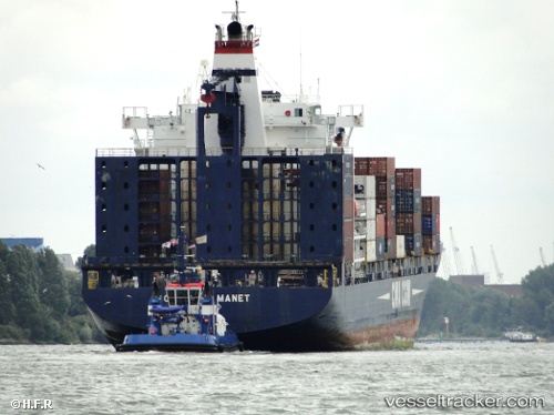
 MANET
MANET
Current Status
Where is the vessel?
MANET is currently in Near Mawan Pt, based on AIS data received about 14h ago.
Latest AIS update:
Current position: 22.45300° N, 113.89222° E (Near Mawan Pt)
Average speed (last 7 days): Loading…
Average speed (last 30 days): Loading…
Vessel profile: MANET is a Container Ship with dimensions 196m x 30m.
This page combines live AIS, route history, probable destination signals, nearby traffic, and port activity for practical vessel monitoring.
The current position of vessel MANET is 22.45300 lat / 113.89222 lng. Updated: 2026-06-17 11:59:27 UTCNearest reference points:
- Near CHIWAN
- Near SHENZHEN
- Near Tai Lang Shui
Currently sailing under the flag of Liberia ![]()
MANET built in 2001 year
Deadweight:
30442 tDetails:
Live Vessel MANET Analytics (details, animations, etc.)
Recent AIS points (UTC):
2026-06-17 07:56:30 UTC · 22.45296, 113.89234 · SOG 0 kn · COG 36°2026-06-17 09:50:45 UTC · 22.45286, 113.89242 · SOG 0 kn · COG 36°
2026-06-17 10:14:29 UTC · 22.45303, 113.89226 · SOG 0 kn · COG 36°
2026-06-17 11:59:27 UTC · 22.45300, 113.89222 · SOG 0 kn · COG 36°