 Eira
Eira
Current Status
Where is the vessel?
Eira is currently in Near Yxpila, based on AIS data received about 14h ago.
Latest AIS update:
Current position: 63.84372° N, 23.02003° E (Near Yxpila)
Average speed (last 7 days): Loading…
Average speed (last 30 days): Loading…
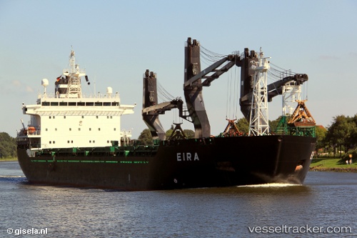
Vessel profile: Eira is a General Cargo Ship with dimensions 157m x 25m.
This page combines live AIS, route history, probable destination signals, nearby traffic, and port activity for practical vessel monitoring.
The current position of vessel Eira is 63.84372 lat / 23.02003 lng. Updated: 2026-05-19 22:33:25 UTCNearest reference points:
- Near Karlsborg Axelvik
Currently sailing under the flag of Finland ![]()
Eira built in 2001 year
Deadweight:
19625 tDetails:
Live Vessel Eira Analytics (details, animations, etc.)
Recent AIS points (UTC):
2026-05-19 19:27:27 UTC · 63.84372, 23.02004 · SOG 0 kn · COG 108°2026-05-19 20:06:26 UTC · 63.84372, 23.02004 · SOG 0 kn · COG 105°
2026-05-19 21:57:27 UTC · 63.84372, 23.02003 · SOG 0 kn · COG 108°
2026-05-19 22:33:25 UTC · 63.84372, 23.02003 · SOG 0 kn · COG 107°