 FELIXSTOWE
Current Status
Where is the vessel?
FELIXSTOWE is currently in Near Morgan Point, based on AIS data received about 14h ago.
Latest AIS update:
Current position: 29.68109° N, 94.99958° W (Near Morgan Point)
Average speed (last 7 days): Loading…
Average speed (last 30 days): Loading…
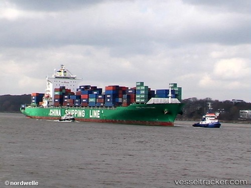
Vessel profile: FELIXSTOWE is a Container Ship with dimensions m x m.
This page combines live AIS, route history, probable destination signals, nearby traffic, and port activity for practical vessel monitoring.
The current position of vessel FELIXSTOWE is 29.68109 lat / -94.99958 lng. Updated: 2026-06-23 16:05:11 UTCNearest reference points:
- Near Morgan Point
- Near Shoreacres
- Near Clear Lake Shores
Currently sailing under the flag of Bahamas ![]()
Details:
Live Vessel FELIXSTOWE Analytics (details, animations, etc.)
Recent AIS points (UTC):
2026-06-23 13:01:24 UTC · 29.68111, -94.99963 · SOG 0 kn · COG 81°2026-06-23 14:28:24 UTC · 29.68116, -94.99951 · SOG 0 kn · COG 81°
2026-06-23 16:05:11 UTC · 29.68109, -94.99958 · SOG 0 kn · COG -1°
2026-06-23 16:05:11 UTC · 29.68109, -94.99958 · SOG 0 kn · COG -1°