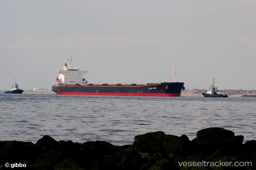
 HONG BANG
Current Status
Where is the vessel?
HONG BANG is currently in Near Tarahan, based on AIS data received about 15h ago.
Latest AIS update:
Current position: 5.68867° S, 105.39729° E (Near Tarahan)
Average speed (last 7 days): Loading…
Average speed (last 30 days): Loading…
Vessel profile: HONG BANG is a Bulk Carrier with dimensions m x m.
This page combines live AIS, route history, probable destination signals, nearby traffic, and port activity for practical vessel monitoring.
The current position of vessel HONG BANG is -5.68867 lat / 105.39729 lng. Updated: 2026-06-17 18:13:37 UTCNearest reference points:
- Near Tarahan
- Near BAKAUHENI
- 29 nm SW of Tarahan
Currently sailing under the flag of Panama ![]()
Details:
Live Vessel HONG BANG Analytics (details, animations, etc.)
Recent AIS points (UTC):
2026-06-17 13:41:18 UTC · -5.54291, 105.28653 · SOG 0 kn · COG -1°2026-06-17 15:51:30 UTC · -5.54394, 105.28733 · SOG 0 kn · COG -1°
2026-06-17 17:01:37 UTC · -5.56066, 105.31286 · SOG 7 kn · COG -1°
2026-06-17 18:13:37 UTC · -5.68867, 105.39729 · SOG 7.8 kn · COG 147°