 BAO RONG HAI
Current Status
Where is the vessel?
BAO RONG HAI is currently in Near Zhapu Pt, based on AIS data received about 14h ago.
Latest AIS update:
Current position: 30.58173° N, 121.07236° E (Near Zhapu Pt)
Average speed (last 7 days): Loading…
Average speed (last 30 days): Loading…
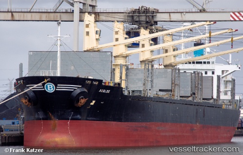
Vessel profile: BAO RONG HAI is a Bulk Carrier with dimensions m x m.
This page combines live AIS, route history, probable destination signals, nearby traffic, and port activity for practical vessel monitoring.
The current position of vessel BAO RONG HAI is 30.58173 lat / 121.07236 lng. Updated: 2026-05-21 04:01:49 UTCNearest reference points:
- Near ZHAPU
- Near Haiyan
- Near Jiaxing
Currently sailing under the flag of Panama ![]()
Details:
Live Vessel BAO RONG HAI Analytics (details, animations, etc.)
Recent AIS points (UTC):
2026-05-21 01:19:49 UTC · 30.58178, 121.07240 · SOG 0 kn · COG 68°2026-05-21 01:34:49 UTC · 30.58177, 121.07234 · SOG 0 kn · COG 68°
2026-05-21 03:37:47 UTC · 30.58181, 121.07240 · SOG 0 kn · COG 68°
2026-05-21 04:01:49 UTC · 30.58173, 121.07236 · SOG 0 kn · COG 68°