 LUCIA A
Current Status
Where is the vessel?
LUCIA A is currently in 77 nm W of King Abdullah City, based on AIS data received about 14h ago.
Latest AIS update:
Current position: 22.05723° N, 37.74578° E (77 nm W of King Abdullah City)
Average speed (last 7 days): Loading…
Average speed (last 30 days): Loading…
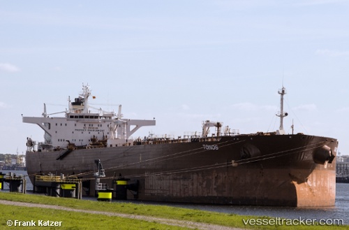
Vessel profile: LUCIA A is a Crude Oil Tanker with dimensions m x m.
This page combines live AIS, route history, probable destination signals, nearby traffic, and port activity for practical vessel monitoring.
The current position of vessel LUCIA A is 22.05723 lat / 37.74578 lng. Updated: 2026-07-02 11:57:14 UTCNearest reference points:
- 65 nm SW of King Abdullah City
- 67 nm W of Tusdeer Free Zone
- 64 nm W of Tusdeer Free Zone
Currently sailing under the flag of San Marino ![]()
Details:
Live Vessel LUCIA A Analytics (details, animations, etc.)
Recent AIS points (UTC):
2026-07-02 07:59:31 UTC · 21.32273, 37.95348 · SOG 11.4 kn · COG 342°2026-07-02 10:15:55 UTC · 21.74195, 37.82757 · SOG 11.6 kn · COG 348°
2026-07-02 10:50:01 UTC · 21.84792, 37.80097 · SOG 11.4 kn · COG 351°
2026-07-02 11:57:14 UTC · 22.05723, 37.74578 · SOG 11.7 kn · COG 347°