 vesseltracker.com
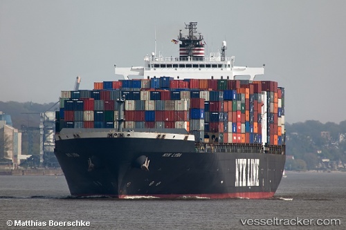
 MYNY
MYNY
Current Status
Where is the vessel?
MYNY is currently in 206 nm N of Anse Kerlan, based on AIS data received about 14h ago.
Latest AIS update:
Current position: 0.93823° S, 56.40784° E (206 nm N of Anse Kerlan)
Average speed (last 7 days): Loading…
Average speed (last 30 days): Loading…
Vessel profile: MYNY is a Container Ship with dimensions 299m x 40m.
This page combines live AIS, route history, probable destination signals, nearby traffic, and port activity for practical vessel monitoring.
The current position of vessel MYNY is -0.93823 lat / 56.40784 lng. Updated: 2026-05-17 22:13:26 UTCCurrently sailing under the flag of Liberia ![]()
MYNY built in 2002 year
Deadweight:
78231 tDetails:
Live Vessel MYNY Analytics (details, animations, etc.)
Recent AIS points (UTC):
2026-05-17 19:14:55 UTC · -1.13359, 55.86451 · SOG 11.6 kn · COG 72°2026-05-17 19:49:50 UTC · -1.09578, 55.97158 · SOG 11.6 kn · COG 72°
2026-05-17 22:13:26 UTC · -0.93823, 56.40784 · SOG 11.6 kn · COG 72°
2026-05-17 22:13:26 UTC · -0.93823, 56.40784 · SOG 11.6 kn · COG 72°