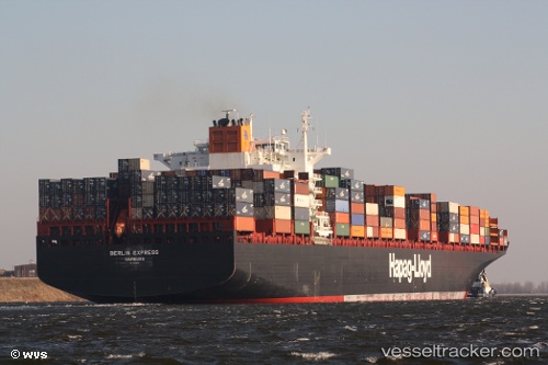
 KIEL EXPRESS
Current Status
Where is the vessel?
KIEL EXPRESS is currently in 35 nm NE of Corolla, based on AIS data received about 14h ago.
Latest AIS update:
Current position: 36.70833° N, 75.22167° W (35 nm NE of Corolla)
Average speed (last 7 days): Loading…
Average speed (last 30 days): Loading…
Vessel profile: KIEL EXPRESS is a Container Ship with dimensions m x m.
This page combines live AIS, route history, probable destination signals, nearby traffic, and port activity for practical vessel monitoring.
The current position of vessel KIEL EXPRESS is 36.70833 lat / -75.22167 lng. Updated: 2026-06-12 10:27:03 UTCNearest reference points:
- 26 nm E of Corolla
- 45 nm NE of Nags Head
- 48 nm E of Nags Head
Currently sailing under the flag of Liberia ![]()
Details:
Live Vessel KIEL EXPRESS Analytics (details, animations, etc.)
Recent AIS points (UTC):
2026-06-12 07:41:45 UTC · 36.86101, -75.86869 · SOG 11.3 kn · COG 126°2026-06-12 07:49:06 UTC · 36.84976, -75.84419 · SOG 11.4 kn · COG 119°
2026-06-12 09:47:58 UTC · 36.74167, -75.38167 · SOG 12 kn · COG -1°
2026-06-12 10:27:03 UTC · 36.70833, -75.22167 · SOG 12 kn · COG -1°