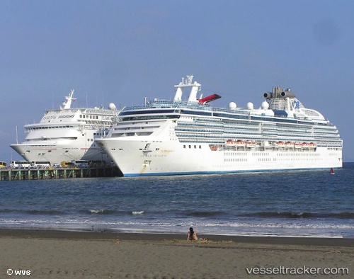
Island Princess
Current StatusWhere is the vessel?
Island Princess is currently in 50 nm N of Falkenberg, based on AIS data received about 15h ago.
Latest AIS update:
Current position: 52.36595° N, 129.80135° W (50 nm N of Falkenberg)
Average speed (last 7 days): Loading…
Average speed (last 30 days): Loading…
Vessel profile: Island Princess is a Cruise Ship with dimensions 38m x 294m.
This page combines live AIS, route history, probable destination signals, nearby traffic, and port activity for practical vessel monitoring.
The current position of vessel Island Princess is 52.36595 lat / -129.80135 lng. Updated: 2026-06-11 23:30:40 UTCNearest reference points:
- 39 nm S of Butedale
- 11 nm S of Kitimat
- Near Watson Island
Details:
Live Vessel Island Princess Analytics (details, animations, etc.)
Recent AIS points (UTC):
2026-06-11 20:03:56 UTC · 51.58889, -129.00522 · SOG 16.3 kn · COG 330°2026-06-11 21:43:46 UTC · 51.96484, -129.37946 · SOG 15.8 kn · COG 327°
2026-06-11 23:14:45 UTC · 52.30527, -129.73734 · SOG 16.3 kn · COG 327°
2026-06-11 23:30:40 UTC · 52.36595, -129.80135 · SOG 16.1 kn · COG 325°