 The Holy
Current Status
Where is the vessel?
The Holy is currently in 74 nm E of Inhambane, based on AIS data received about 14h ago.
Latest AIS update:
Current position: 24.24958° S, 36.64926° E (74 nm E of Inhambane)
Average speed (last 7 days): Loading…
Average speed (last 30 days): Loading…
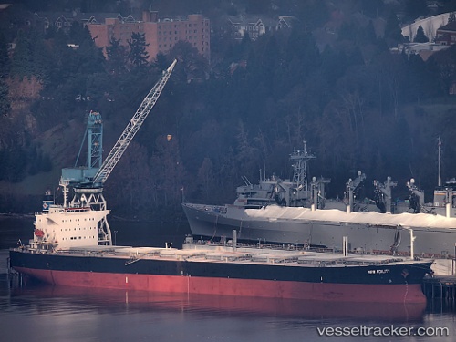
Vessel profile: The Holy is a Bulk Carrier with dimensions 225m x 32m.
This page combines live AIS, route history, probable destination signals, nearby traffic, and port activity for practical vessel monitoring.
The current position of vessel The Holy is -24.24958 lat / 36.64926 lng. Updated: 2026-05-21 13:53:55 UTCCurrently sailing under the flag of Panama ![]()
The Holy built in 2001 year
Deadweight:
76623 tDetails:
Live Vessel The Holy Analytics (details, animations, etc.)
Recent AIS points (UTC):
2026-05-21 10:45:55 UTC · -23.72481, 37.02318 · SOG 11.7 kn · COG 220°2026-05-21 11:21:08 UTC · -23.81847, 36.94874 · SOG 11.9 kn · COG 212°
2026-05-21 13:04:27 UTC · -24.10652, 36.74759 · SOG 12.2 kn · COG 212°
2026-05-21 13:53:55 UTC · -24.24958, 36.64926 · SOG 12.4 kn · COG 212°