 vesseltracker.com
 Charlie
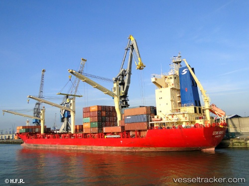
Current Status
Where is the vessel?
Charlie is currently in 31 nm NW of TENES, based on AIS data received about 1h ago.
Latest AIS update:
Current position: 36.83310° N, 0.80348° E (31 nm NW of TENES)
Average speed (last 7 days): Loading…
Average speed (last 30 days): Loading…
Vessel profile: Charlie is a Container Ship with dimensions 184m x 7m.
This page combines live AIS, route history, probable destination signals, nearby traffic, and port activity for practical vessel monitoring.
The current position of vessel Charlie is 36.83310 lat / 0.80348 lng. Updated: 2026-05-14 17:23:58 UTCNearest reference points:
- 50 nm N of Mostaganem
- 43 nm NW of Mostaganem
- Near Mostaganem
Currently sailing under the flag of Liberia ![]()
Details:
Live Vessel Charlie Analytics (details, animations, etc.)
Recent AIS points (UTC):
2026-05-14 14:08:04 UTC · 36.93291, 1.71448 · SOG 14 kn · COG -1°2026-05-14 16:11:19 UTC · 36.88472, 1.12598 · SOG 13.6 kn · COG -1°
2026-05-14 16:19:59 UTC · 36.88032, 1.08575 · SOG 13.4 kn · COG -1°
2026-05-14 17:23:58 UTC · 36.83310, 0.80348 · SOG 12.9 kn · COG -1°