 NARCISSUS
Current Status
Where is the vessel?
NARCISSUS is currently in 65 nm E of Oluvil, based on AIS data received about 14h ago.
Latest AIS update:
Current position: 7.26918° N, 82.94352° E (65 nm E of Oluvil)
Average speed (last 7 days): Loading…
Average speed (last 30 days): Loading…
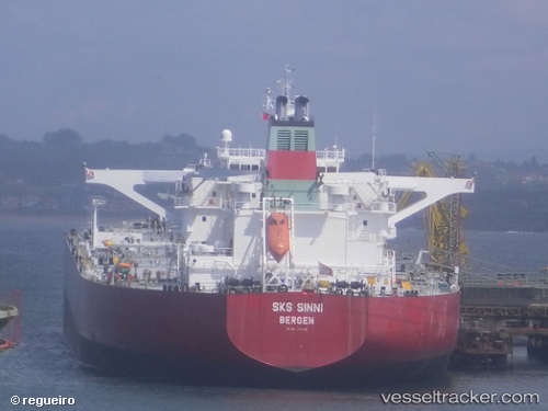
Vessel profile: NARCISSUS is a Crude Oil Tanker with dimensions 274m x 48m.
This page combines live AIS, route history, probable destination signals, nearby traffic, and port activity for practical vessel monitoring.
The current position of vessel NARCISSUS is 7.26918 lat / 82.94352 lng. Updated: 2026-05-20 22:28:14 UTCNearest reference points:
- 67 nm E of Oluvil
- 42 nm E of Konwelana
- 40 nm E of Konwelana
Currently sailing under the flag of Marshall Islands ![]()
NARCISSUS built in 2003 year
Deadweight:
159367 tDetails:
Live Vessel NARCISSUS Analytics (details, animations, etc.)
Recent AIS points (UTC):
2026-05-20 12:41:53 UTC · 5.88430, 81.81792 · SOG 11.5 kn · COG 82°2026-05-20 22:07:44 UTC · 7.20915, 82.91534 · SOG 11.3 kn · COG 21°
2026-05-20 22:28:14 UTC · 7.26918, 82.94352 · SOG 11.6 kn · COG 23°
2026-05-20 22:28:14 UTC · 7.26918, 82.94352 · SOG 11.6 kn · COG 23°