 SEAGULL 21
Current Status
Where is the vessel?
SEAGULL 21 is currently in Open sea, approx. 504 nm off the nearest listed port, based on AIS data received about 237d ago.
Latest AIS update:
Current position: 2.22804° N, 22.59797° W (Open sea, approx. 504 nm off the nearest listed port)
Average speed (last 7 days): Loading…
Average speed (last 30 days): Loading…
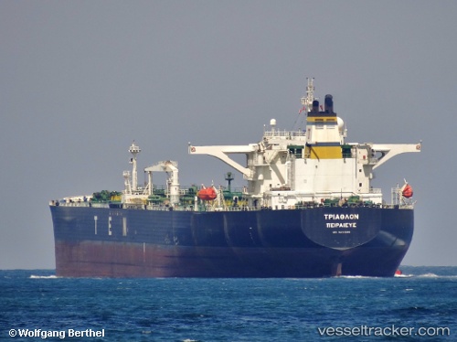
Vessel profile: SEAGULL 21 is a Crude Oil Tanker with dimensions 274m x 50m.
This page combines live AIS, route history, probable destination signals, nearby traffic, and port activity for practical vessel monitoring.
The current position of vessel SEAGULL 21 is 2.22804 lat / -22.59797 lng. Updated: 2025-10-19 03:48:09 UTCNearest reference points:
- Open sea, approx. 504 nm off the nearest listed port
- Open sea, approx. 507 nm off the nearest listed port
- Open sea, approx. 512 nm off the nearest listed port
Currently sailing under the flag of Panama ![]()
SEAGULL 21 built in 2002 year
Deadweight:
164445 tDetails:
Live Vessel SEAGULL 21 Analytics (details, animations, etc.)
Recent AIS points (UTC):
2025-10-19 03:48:09 UTC · 2.22804, -22.59797 · SOG 96.5 kn · COG 211°