 vesseltracker.com
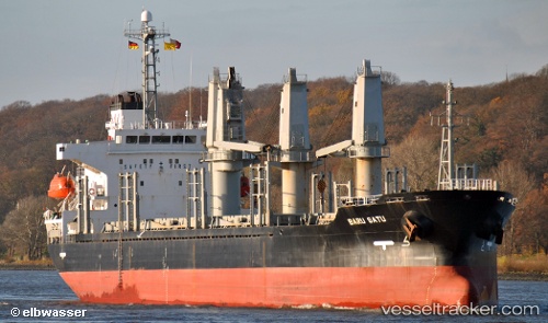
 LADY SEMA
Current Status
Where is the vessel?
LADY SEMA is currently in 18 nm SE of CARBONERAS, based on AIS data received less than 1h ago.
Latest AIS update:
Current position: 36.71380° N, 1.69638° W (18 nm SE of CARBONERAS)
Average speed (last 7 days): Loading…
Average speed (last 30 days): Loading…
Vessel profile: LADY SEMA is a Bulk Carrier with dimensions 137m x 23m.
This page combines live AIS, route history, probable destination signals, nearby traffic, and port activity for practical vessel monitoring.
The current position of vessel LADY SEMA is 36.71380 lat / -1.69638 lng. Updated: 2026-05-14 18:09:23 UTCNearest reference points:
- 20 nm SE of CARBONERAS
- 27 nm SE of El Alquian
- 26 nm S of El Alquian
Currently sailing under the flag of Panama ![]()
LADY SEMA built in 2001 year
Deadweight:
16190 tDetails:
Live Vessel LADY SEMA Analytics (details, animations, etc.)
Recent AIS points (UTC):
2026-05-14 14:06:51 UTC · 36.33663, -2.37075 · SOG 10.1 kn · COG 76°2026-05-14 15:41:59 UTC · 36.43865, -2.07790 · SOG 10 kn · COG 43°
2026-05-14 16:34:55 UTC · 36.53602, -1.94108 · SOG 9.9 kn · COG 43°
2026-05-14 18:09:23 UTC · 36.71380, -1.69638 · SOG 9.8 kn · COG 47°