 EBRU
EBRU
Current Status
Where is the vessel?
EBRU is currently in 77 nm W of Tortella, based on AIS data received about 15h ago.
Latest AIS update:
Current position: 42.21640° N, 28.21458° W (77 nm W of Tortella)
Average speed (last 7 days): Loading…
Average speed (last 30 days): Loading…
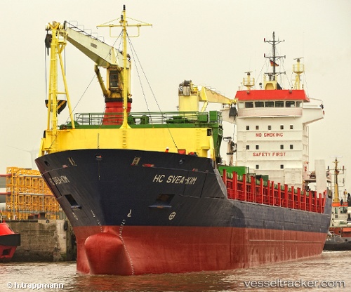
Vessel profile: EBRU is a General Cargo with dimensions m x m.
This page combines live AIS, route history, probable destination signals, nearby traffic, and port activity for practical vessel monitoring.
The current position of vessel EBRU is 42.21640 lat / -28.21458 lng. Updated: 2026-06-15 01:19:18 UTCNearest reference points:
- 81 nm SW of Matillas
Currently sailing under the flag of Panama ![]()
Details:
Live Vessel EBRU Analytics (details, animations, etc.)
Recent AIS points (UTC):
2026-06-14 22:50:31 UTC · 42.36423, -27.76258 · SOG 6.8 kn · COG 238°2026-06-15 00:23:17 UTC · 42.27111, -28.04276 · SOG 8.6 kn · COG 246°
2026-06-15 01:19:18 UTC · 42.21640, -28.21458 · SOG 8.6 kn · COG 245°
2026-06-15 01:19:18 UTC · 42.21640, -28.21458 · SOG 8.6 kn · COG 245°