 vesseltracker.com
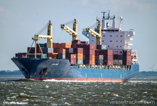
Buxlink
Current StatusWhere is the vessel?
Buxlink is currently in 20 nm SE of Marsaxlokk, based on AIS data received about 1h ago.
Latest AIS update:
Current position: 35.58740° N, 14.84174° E (20 nm SE of Marsaxlokk)
Average speed (last 7 days): Loading…
Average speed (last 30 days): Loading…
Vessel profile: Buxlink is a Container Ship with dimensions 30m x 208m.
This page combines live AIS, route history, probable destination signals, nearby traffic, and port activity for practical vessel monitoring.
The current position of vessel Buxlink is 35.58740 lat / 14.84174 lng. Updated: 2026-05-16 12:20:47 UTCNearest reference points:
- 13 nm E of Il-Kappara
- 18 nm E of Il-Kappara
- Near Xghajra
Details:
Live Vessel Buxlink Analytics (details, animations, etc.)
Recent AIS points (UTC):
2026-05-16 07:45:06 UTC · 35.65386, 14.80589 · SOG 1.6 kn · COG 64°2026-05-16 09:33:36 UTC · 35.60835, 14.84446 · SOG 2 kn · COG 52°
2026-05-16 10:05:16 UTC · 35.59441, 14.85910 · SOG 2.1 kn · COG 53°
2026-05-16 12:20:47 UTC · 35.58740, 14.84174 · SOG 2.8 kn · COG 255°