 La Noumbi
Current Status
Where is the vessel?
La Noumbi is currently in 48 nm NW of Pointe Noire, based on AIS data received about 14h ago.
Latest AIS update:
Current position: 4.47272° S, 11.09075° E (48 nm NW of Pointe Noire)
Average speed (last 7 days): Loading…
Average speed (last 30 days): Loading…
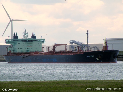
Vessel profile: La Noumbi is a Crude Oil Tanker with dimensions 252m x 44m.
This page combines live AIS, route history, probable destination signals, nearby traffic, and port activity for practical vessel monitoring.
The current position of vessel La Noumbi is -4.47272 lat / 11.09075 lng. Updated: 2026-05-20 16:27:37 UTCNearest reference points:
- Near Pointe Noire
- Near N'Kossa Terminal
- Near Futila Terminal
Currently sailing under the flag of St Vincent Grenadines ![]()
La Noumbi built in 2002 year
Deadweight:
106034 tDetails:
Live Vessel La Noumbi Analytics (details, animations, etc.)
Recent AIS points (UTC):
2026-05-20 13:27:00 UTC · -4.47272, 11.09076 · SOG 0 kn · COG 30°2026-05-20 13:48:06 UTC · -4.47272, 11.09077 · SOG 0.1 kn · COG 30°
2026-05-20 16:21:40 UTC · -4.47272, 11.09076 · SOG 0 kn · COG 31°
2026-05-20 16:27:37 UTC · -4.47272, 11.09075 · SOG 0 kn · COG 30°