 ALMA
ALMA
Current Status
Where is the vessel?
ALMA is currently in Open sea, approx. 539 nm off the nearest listed port, based on AIS data received about 92d ago.
Latest AIS update:
Current position: 84.12336° S, 79.53993° W (Open sea, approx. 539 nm off the nearest listed port)
Average speed (last 7 days): Loading…
Average speed (last 30 days): Loading…
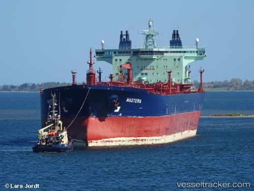
Vessel profile: ALMA is a Crude Oil Tanker with dimensions 252m x 44m.
This page combines live AIS, route history, probable destination signals, nearby traffic, and port activity for practical vessel monitoring.
The current position of vessel ALMA is -84.12336 lat / -79.53993 lng. Updated: 2026-02-19 02:04:34 UTCNearest reference points:
- Open sea, approx. 539 nm off the nearest listed port
- Open sea (no nearby ports in database)
- Open sea, approx. 517 nm off the nearest listed port
Currently sailing under the flag of Liberia ![]()
ALMA built in 2003 year
Deadweight:
106208 tDetails:
Live Vessel ALMA Analytics (details, animations, etc.)
Recent AIS points (UTC):
2026-02-19 02:04:34 UTC · -84.12336, -79.53993 · SOG 54.2 kn · COG -1°