 BOGAZICI
Current Status
Where is the vessel?
BOGAZICI is currently in 30 nm S of Nagercoil, based on AIS data received about 15h ago.
Latest AIS update:
Current position: 7.67281° N, 77.40835° E (30 nm S of Nagercoil)
Average speed (last 7 days): Loading…
Average speed (last 30 days): Loading…
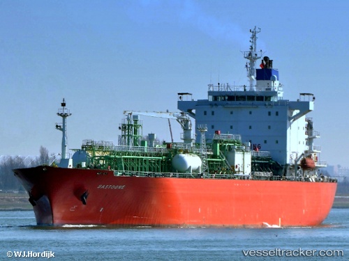
Vessel profile: BOGAZICI is a Lpg Tanker with dimensions m x m.
This page combines live AIS, route history, probable destination signals, nearby traffic, and port activity for practical vessel monitoring.
The current position of vessel BOGAZICI is 7.67281 lat / 77.40835 lng. Updated: 2026-07-05 02:04:10 UTCNearest reference points:
- 41 nm S of Nagercoil
- 91 nm S of Nagercoil
- 98 nm S of Nagercoil
Currently sailing under the flag of Panama ![]()
Details:
Live Vessel BOGAZICI Analytics (details, animations, etc.)
Recent AIS points (UTC):
2026-07-04 22:42:18 UTC · 7.27344, 77.95637 · SOG 11.8 kn · COG 305°2026-07-05 00:23:06 UTC · 7.47479, 77.69281 · SOG 11.8 kn · COG -1°
2026-07-05 01:45:48 UTC · 7.63870, 77.46265 · SOG 12.3 kn · COG 301°
2026-07-05 02:04:10 UTC · 7.67281, 77.40835 · SOG 12.6 kn · COG 301°