 YOKO 1
Current Status
Where is the vessel?
YOKO 1 is currently in Near Damietta, based on AIS data received about 15h ago.
Latest AIS update:
Current position: 31.60768° N, 31.76098° E (Near Damietta)
Average speed (last 7 days): Loading…
Average speed (last 30 days): Loading…
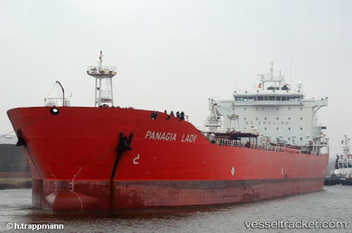
Vessel profile: YOKO 1 is a Oil/Chemical Tanker with dimensions m x m.
This page combines live AIS, route history, probable destination signals, nearby traffic, and port activity for practical vessel monitoring.
The current position of vessel YOKO 1 is 31.60768 lat / 31.76098 lng. Updated: 2026-05-22 11:47:00 UTCNearest reference points:
- Near Damietta
- 21 nm N of Port Said
- 15 nm N of Port Said
Currently sailing under the flag of Panama ![]()
Details:
Live Vessel YOKO 1 Analytics (details, animations, etc.)
Recent AIS points (UTC):
2026-05-22 07:51:32 UTC · 31.60725, 31.76369 · SOG 0.2 kn · COG -1°2026-05-22 09:56:58 UTC · 31.60715, 31.76480 · SOG 0.2 kn · COG -1°
2026-05-22 10:42:08 UTC · 31.60711, 31.76326 · SOG 0.3 kn · COG -1°
2026-05-22 11:47:00 UTC · 31.60768, 31.76098 · SOG 0.4 kn · COG -1°